
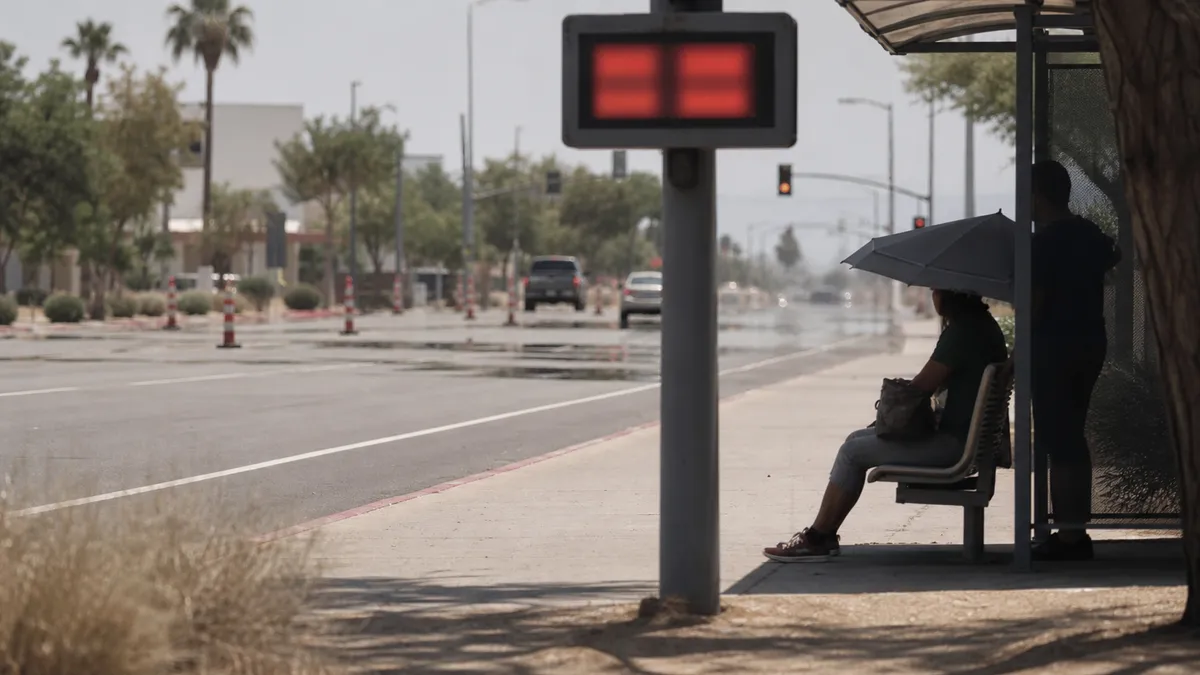
NOAA forecasters warned Friday, July 10, that dangerous heat will build from the Intermountain West into the northern Plains and Upper Midwest next week, raising the risk of heat illness, record temperatures and stress on people without reliable cooling.
The Weather Prediction Center said its medium-range forecast for Monday, July 13, through Friday, July 17, shows a broad and unusually strong upper-level ridge setting up over the western and north-central United States. That pattern is expected to support a significant heat wave with several days of well-above-normal highs and warm overnight lows.
The most important point for readers is timing: the heat is not just a one-afternoon spike. WPC said several days of potentially record-breaking maximum and minimum temperatures could produce widespread major to extreme HeatRisk across parts of the Intermountain West, northern Plains and Upper Midwest.
What changed
In its Friday afternoon discussion, WPC said dangerous heat is forecast to spread through next week from the Intermountain West to the northern Plains and Upper Midwest. The agency also expects the Northeast to turn warmer Tuesday before heat shifts toward the Mid-Atlantic later in the week.
NOAA's Climate Prediction Center kept a moderate risk of extreme heat in parts of the Northern and Central Plains, nearby areas of the Rockies, the Northern Great Basin and parts of Florida for July 18 and July 19. It also listed slight extreme-heat risks across much of the West, the central and northern Plains, the Middle and Upper Mississippi Valley, and coastal parts of the Lower Mississippi Valley and Southeast.
The Associated Press reported Friday that meteorologists expect temperatures in many areas to run 15 to 25 degrees Fahrenheit above normal, with more than 90 local temperature records possible through Wednesday. AP also reported that many of the record risks involve overnight heat, which can make it harder for the body to recover.
What to check first
Check your local National Weather Service forecast, watches and warnings before changing work, travel or outdoor plans. National maps are useful for spotting the pattern, but local offices issue the alerts that matter for a specific county, city or commute.
If your area moves into major or extreme HeatRisk, plan around cooling before the hottest hours arrive. Identify an air-conditioned place, charge phones, move strenuous errands to the morning when possible, and check on older relatives, neighbors, infants, outdoor workers and anyone with a condition or medication that can increase heat sensitivity.
CDC heat guidance says people should stay in air-conditioned locations as much as possible, drink fluids even before feeling thirsty, schedule outdoor activity carefully and never leave children or pets in cars. The National Weather Service says heat stroke is a medical emergency; call 911 if someone has confusion, loss of consciousness or other severe symptoms during extreme heat.
What happens next
Forecast details will keep changing as the ridge shifts and local humidity, cloud cover and storm chances evolve. The safest move is to treat the Friday forecast as an early planning signal, then recheck local alerts each morning from Saturday, July 11, through the middle of next week.


