
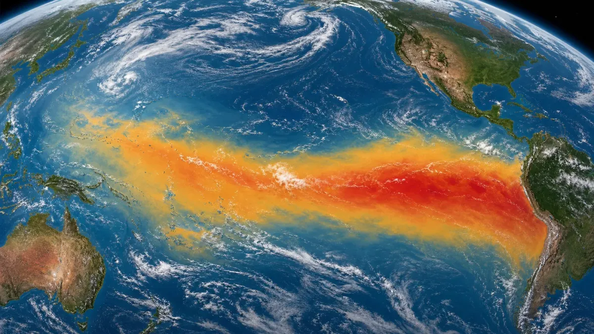
El Nino is no longer a distant possibility for late 2026. In its July 9 diagnostic discussion, NOAA's Climate Prediction Center said the event strengthened over the past month and is expected to keep intensifying through the end of the year.
The headline number is the persistence forecast: NOAA gives El Nino a 97% chance of lasting into early spring 2027. Forecasters also put the chance of a very strong El Nino during October through December at 81%, a level that would place the event among the largest in records going back to 1950.
What changed
NOAA said sea surface temperature anomalies exceeded 1.0 C across a large area of the central and eastern equatorial Pacific. The weekly Nino-3.4 index was 1.2 C, while the eastern Nino-1+2 region reached 2.7 C. The agency also pointed to wind and convection patterns that show the ocean and atmosphere are increasingly coupled, which is what gives El Nino its broader weather influence.
The World Meteorological Organization's July-September outlook points in the same direction. Its multi-model ensemble forecast shows rapid development into a strong El Nino, with the seasonal average near 2.0 C and high model confidence through the northern autumn.
Columbia University's International Research Institute for Climate and Society also reported strengthening conditions in its June 22 update. Its model blend assigned El Nino probabilities of 100% from July-September through September-November and still 97% for February-April 2027.
Why it matters
El Nino does not guarantee one local outcome. Even a very strong event can miss the classic pattern in some regions. But stronger events tend to push the odds more noticeably, which is why seasonal forecasters, farmers, emergency managers, insurers and energy planners watch the Pacific so closely.
For the United States, El Nino often raises the odds of a wetter cool season across parts of the southern tier, warmer winter conditions in parts of the north and more vertical wind shear over the tropical Atlantic. That wind shear can suppress some hurricane development, though it does not remove the risk of damaging storms, especially close to land.
Globally, WMO's July-September outlook shows widespread higher odds of above-normal temperatures over land and oceans, with rainfall shifts across the equatorial Pacific, Indian Ocean, Australia, parts of Africa, Central America and South America.
What to watch next
The next NOAA ENSO Diagnostic Discussion is scheduled for August 13, 2026. The most useful signal then will be whether model confidence remains high after another month of ocean-atmosphere coupling. Readers should treat regional seasonal outlooks as probability maps, not promises, and keep checking local National Weather Service guidance as winter approaches.


