
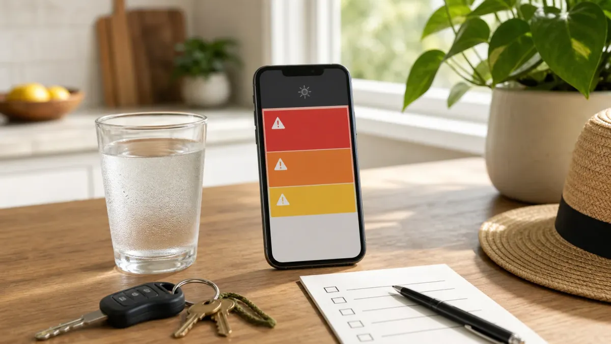
Heat alerts can sound similar, but they do not all mean the same thing. As of July 12, 2026, the National Weather Service active-alerts page lists heat-related products including Heat Advisory, Extreme Heat Watch, and Extreme Heat Warning, while local forecast offices are issuing detailed statements for areas facing several days of dangerous temperatures.
The practical difference is timing and severity. A watch tells you to prepare because conditions may become dangerous. An advisory or warning means the heat is expected or already occurring, so plans should change now, especially for outdoor work, sports, travel, older adults, children, people with chronic conditions, and anyone without reliable cooling.
This guide is not a replacement for your local forecast or emergency instructions. Use it to read the alert language, check the right tools, and decide what to do before the hottest part of the day.
The short answer
An Extreme Heat Warning is the strongest clear signal in the group: the NWS says extremely dangerous heat is expected or happening, and people should avoid outdoor activity during the hottest hours, stay in air-conditioned space as much as possible, and check on others.
An Extreme Heat Watch means conditions are favorable for an extreme heat event, but the exact timing or occurrence is still uncertain. That is the point to identify a cooling center, adjust outdoor schedules, confirm transportation, and decide what you would cancel if the watch becomes a warning.
A Heat Advisory is still a take-action alert. It means dangerous heat is expected, but it is not forecast to reach the local warning threshold. That can still be serious because heat risk depends on humidity, overnight temperatures, local climate, access to cooling, medications, health conditions, and how long someone is exposed.
How HeatRisk fits in
The NWS HeatRisk tool is different from a watch or warning. It is a seven-day, color-coded risk guide that supplements official heat alerts. Green means little to no expected risk from heat. Yellow means minor risk, mainly for people highly sensitive to heat without cooling or hydration. Orange means moderate risk for heat-sensitive people and some systems. Red means major risk for anyone without cooling or hydration. Magenta means extreme risk from rare or long-duration heat, often with little overnight relief.
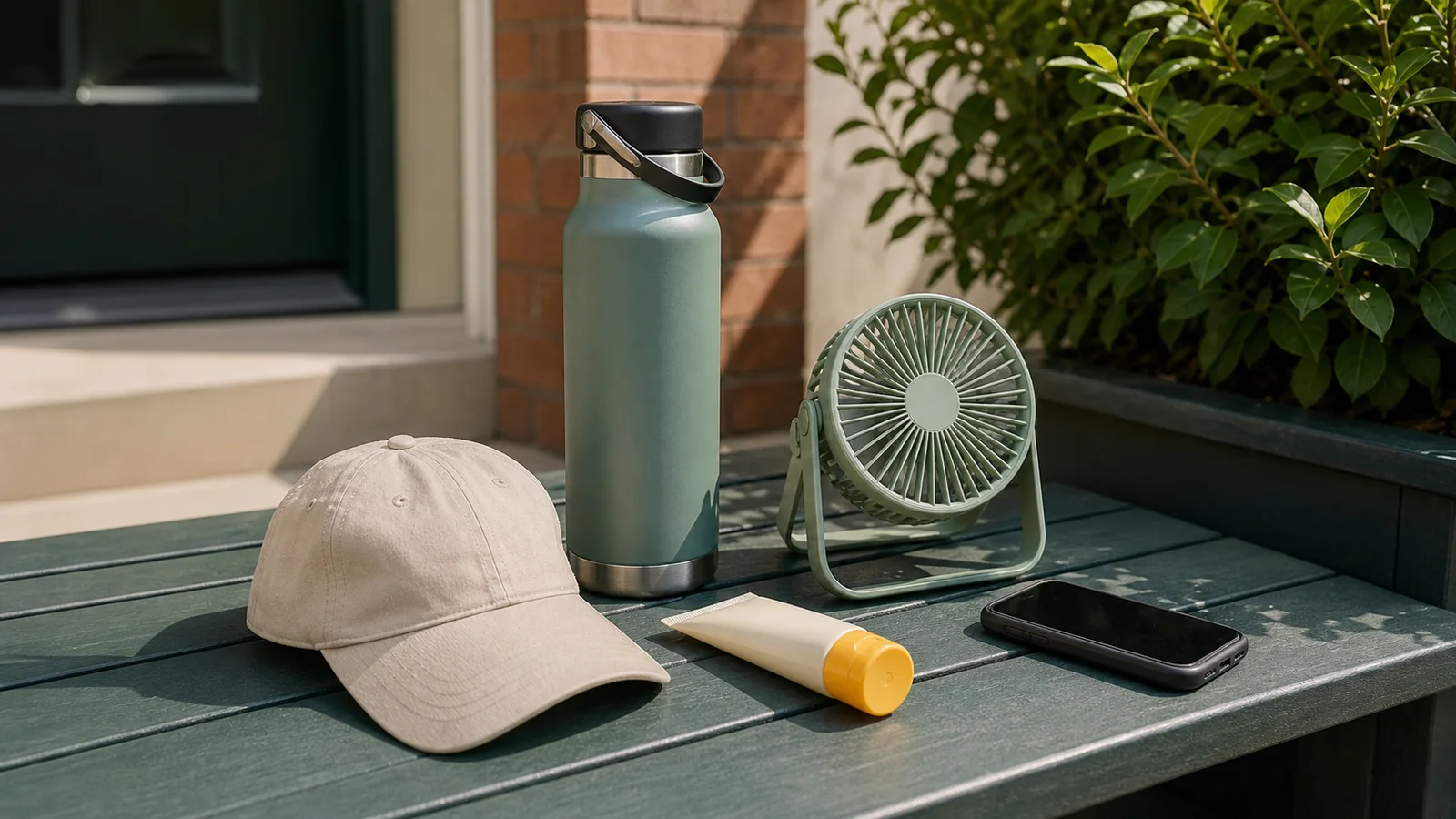
That color can be useful even when there is no warning yet. For example, a red or magenta HeatRisk day should make you rethink afternoon errands, youth sports, outdoor labor, and long waits in parking lots or transit stops. It should also prompt check-ins with people who live alone, lack air conditioning, or depend on refrigerated medicine or powered medical devices.
Do this first
Start with your local NWS forecast, not a national headline. Heat criteria vary by region because people in different climates are not affected by the same temperature in the same way. The NWS says local forecast offices work with partners when deciding whether to issue heat products for their area.
Then compare three details: the alert type, the time window, and the overnight forecast. A warning that lasts through multiple evenings is more concerning than a short afternoon spike because the body may not recover if nights stay hot. A July 11 NWS Los Angeles/Oxnard statement, for example, kept an Extreme Heat Watch in effect for parts of southwest California from Tuesday morning through Thursday evening and warned of possible 95 to 110 degree temperatures away from the coast.
Make the first change before symptoms appear. Move strenuous activity to early morning, postpone nonessential outdoor tasks, charge phones, refill water bottles, identify a cool place, and check whether schools, camps, employers, sports leagues, or transit agencies have changed schedules.
Check these symptoms
The CDC says hot days can affect anyone, but risk rises for older adults, infants and young children, pregnant people, outdoor workers, athletes, people with asthma or heart disease, and people taking certain medicines. Warning signs can include muscle cramps, unusually heavy sweating, shortness of breath, dizziness, headache, weakness, and nausea.
Heat stroke is an emergency. The CDC's NIOSH guidance says danger signs include confusion, altered mental status, slurred speech, loss of consciousness, seizures, very high body temperature, and hot dry skin or profuse sweating. Call 911, move the person to a cool shaded area, remove outer clothing, and cool them quickly while waiting for emergency help.
Common mistakes
The first mistake is treating a Heat Advisory as routine summer weather. It is still a take-action product, especially for people without cooling or people who must be outside. The second is relying only on the high temperature. Humidity, direct sun, pavement, physical exertion, and warm nights can turn a manageable forecast into a dangerous one.
The third mistake is assuming a fan always solves indoor heat. CDC guidance says fans can help only when indoor temperatures are below 90°F; above that, a fan can increase body temperature. If your indoor space is hotter than that, look for air conditioning, a cooling center, a library, a mall, a community site, or another local cooling option.
What to watch next
Recheck alerts at least twice a day during a heat event: once before making daytime plans and once in the evening for overnight risk. Watches can become warnings, advisory areas can expand, and local offices may update timing as humidity, clouds, storms, smoke, or power conditions change.
The bottom line is simple: a watch is your planning window, an advisory is your cue to reduce exposure, and a warning is your cue to take the heat seriously right away. If HeatRisk is red or magenta, act as though the day can harm people who do not have cooling, hydration, and a way to get help.


