
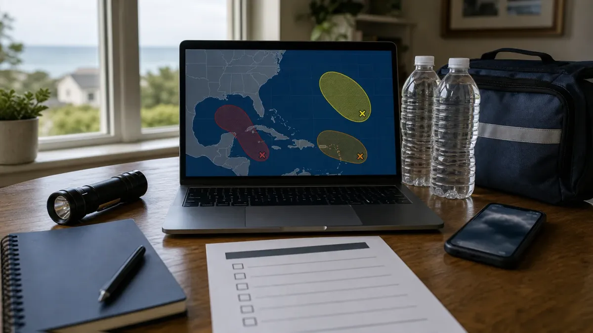
When the National Hurricane Center says a tropical disturbance has a 20%, 40% or 80% chance of development, it is answering a narrow question: how likely is this system to become a tropical depression or tropical storm during a set window of time?
That number is useful, but it is easy to overread. It does not say where a future storm will make landfall, how strong it will be at the coast, or whether your county is under a watch or warning. It is an early signal that a messy area of showers and low pressure deserves attention.
The short answer
Read the percentage as a formation forecast, not an impact forecast. A low chance means forecasters see limited development potential in the next two or seven days. A medium or high chance means organization is more likely, but people still need a track forecast, local National Weather Service alerts and emergency management guidance before making location-specific decisions.
How the outlook works
The National Hurricane Center's Tropical Weather Outlook highlights areas of disturbed weather that could become tropical cyclones. The outlook normally gives two formation windows: the next 48 hours and the next seven days. Those windows can tell different stories. A disturbance may have little chance in the next two days but a higher chance later in the week if forecasters expect warmer water, lower wind shear or a better-organized circulation.
On July 15, 2026, for example, the NHC's public pages showed no active tropical cyclone in the Atlantic, while the graphical outlook still discussed an area expected to form over the northeastern Gulf of America with a low seven-day development chance. That kind of setup is exactly where the percentages help: they flag a possible future system before it has a name.
What low, medium and high mean
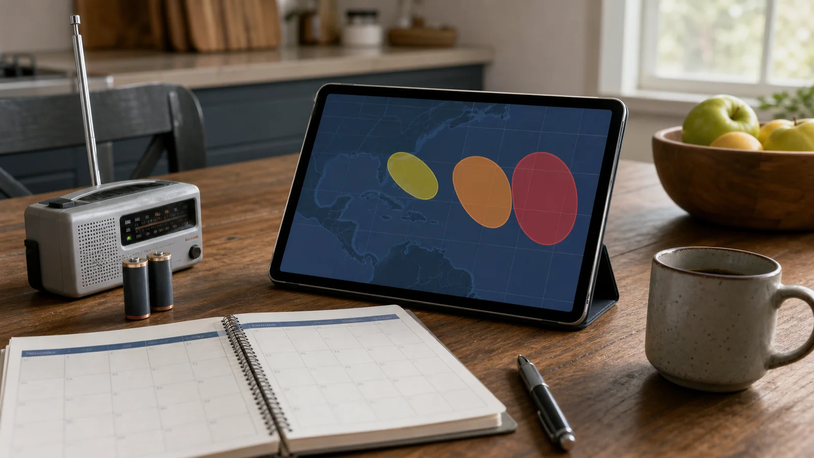
The labels are shorthand, not guarantees. A low chance can still matter if the disturbance is near land, moving slowly or expected to bring heavy rain before it becomes a named storm. A medium chance is a prompt to check forecasts more often, especially if travel, boating or coastal plans depend on weather. A high chance means development is likely enough that you should expect more frequent updates and be ready for advisories if the system organizes.
The main mistake is treating the color or percentage as a personal risk score. A 20% system near your coastline may deserve more practical attention than an 80% system far out at sea. Distance, steering currents, rainfall potential, storm surge risk, terrain and local drainage all matter.
Do not confuse it with the cone
The familiar forecast cone is a different product. NHC says the cone represents the probable track of the center of an existing tropical cyclone, built from recent official track forecast errors. It does not show the full size of the storm, and dangerous weather can occur outside the cone.
The tropical development outlook comes earlier. It is about whether a disturbance may become a cyclone at all. Once a system becomes a depression, storm or potential tropical cyclone close enough to land, the products can shift toward advisories, track forecasts, watches and warnings.
What to do when a disturbance appears
First, check whether your area is actually in the forecast discussion or local hazard outlook. If the system is remote, it may be only a watch item. If it is close to land, look for local National Weather Service updates, emergency management messages and any flood, wind, surf or marine alerts.
Second, use the quiet period before a storm forms. NOAA's preparedness guidance says households should understand their hurricane risk, have multiple ways to receive alerts and prepare before the worst happens. That means checking batteries, prescriptions, pet supplies, insurance documents, fuel plans and evacuation routes before the last-minute rush.
Third, avoid making one decision from one number. Recheck the 48-hour and seven-day probabilities when the outlook updates, and watch whether the discussion mentions better organization, land interaction, wind shear, heavy rain or a possible track near populated areas.
What to watch next
The most important change is not always the headline percentage. A rising 48-hour chance can mean the system is organizing faster. A falling seven-day chance can mean the environment is becoming less favorable. A new advisory, watch or warning matters more than the outlook color because it is tied to a specific system and area.
The bottom line: use NHC development odds as an early reminder to pay attention and prepare, then rely on official local alerts for decisions about travel, sheltering, boating and evacuation.


