
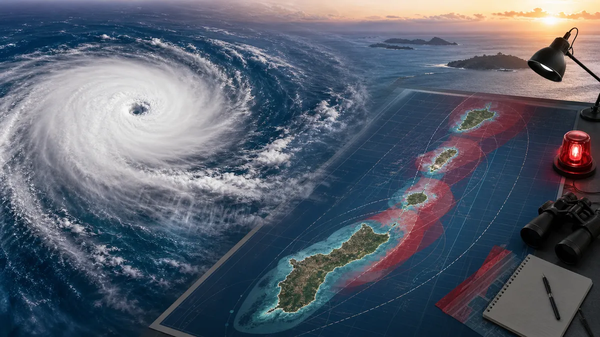
Super Typhoon Bavi was crossing the Marianas on Monday, July 6, 2026, with the most dangerous conditions focused on Rota and typhoon impacts still reaching Guam, Tinian and Saipan.
The National Weather Service office in Tiyan, Guam, said in a 9:26 a.m. ChST local statement that Bavi's eyewall was passing over Rota and that an Extreme Wind Warning was in effect there. The storm's intensity was listed at 180 mph, and its center was about 70 miles northeast of Guam at 7 a.m. ChST, moving west-northwest at 9 mph.
NWS Guam described catastrophic winds above 150 mph across Rota and warned that the calmer period during eye passage was not a sign the danger had ended. The agency told residents not to go outside during lulls because the back side of the storm would bring extreme winds back quickly.
Guam was still under a Typhoon Warning, along with Rota, Tinian and Saipan. For Guam, the weather service said strong tropical-storm conditions were occurring as Bavi made its closest approach, with sustained west winds of 50 to 80 mph and gusts to 100 mph expected through late afternoon. Northern parts of the island could see typhoon conditions.
Flooding and surf remain major hazards
The wind threat is only part of the emergency. NWS Guam said a Flood Watch covered Guam and the Northern Marianas, with flood warnings already ongoing in some areas. Rainfall estimates called for 12 to 20 inches across Guam and 14 to 20 inches near Rota during Bavi's passage, enough to trigger flash flooding and mudslides.
Coastal hazards were also severe. The local statement said Guam could see storm surge up to 2 feet, another 5 to 10 feet of wind-driven run-up and surf peaking between 15 and 25 feet. For Rota, the forecast was worse: surge of 6 to 9 feet, another 10 to 15 feet of run-up and surf of 25 to 35 feet.
Why this is still developing
The Associated Press reported Monday that Bavi made landfall over Rota and brought heavy rain and fierce winds across U.S. Pacific territories near Guam. AP also reported gusts above 100 mph at Saipan's international airport and noted that the region is still recovering from Super Typhoon Sinlaku, which struck in April.
Guam Homeland Security said the island had been placed in Condition of Readiness 2 late Saturday, July 4, after the governor declared a state of emergency. That earlier advisory warned that the islands nearest the center would face the worst conditions and that flooding, power outages, downed trees and flying debris were likely.
For anyone in the affected islands, the practical guidance has not changed: stay inside, stay away from windows, keep phones charged and follow NWS Guam and local emergency managers for the next warnings. Conditions should improve only gradually after the eyewall and typhoon-force wind field move away, and flooding or blocked roads can remain dangerous after the strongest winds pass.