
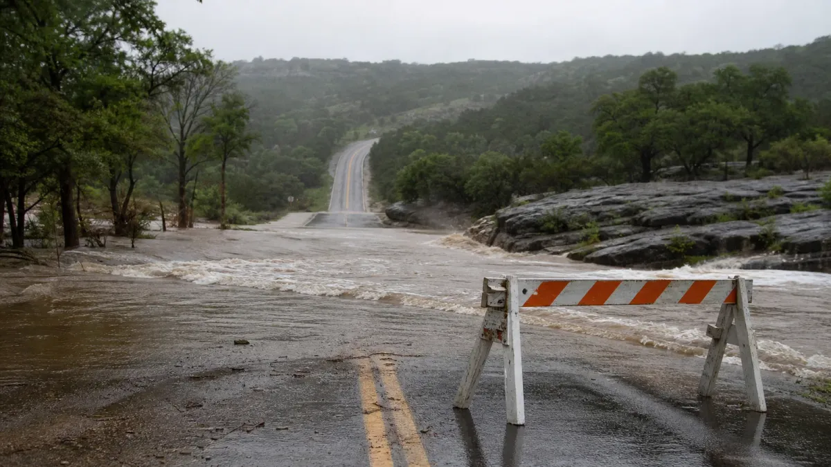
NOAA's Weather Prediction Center raised part of the Texas Hill Country to a High Risk for excessive rainfall on Tuesday, July 14, warning that significant to locally catastrophic flash flooding could continue into early Wednesday.
The 11:46 a.m. EDT outlook said radar estimates already showed 6 to 10 inches of rain in Medina, Uvalde and Bandera counties, with some local totals near 12 inches. The agency said additional storms could produce 2 to 4 inches of rain per hour, with 3 to 6 more inches possible through tonight and localized amounts above 10 inches.
What changed
The High Risk designation covers the most serious part of today's flood setup. WPC said storms may redevelop tonight as low-level moisture feeds into a storm complex near Del Rio and pushes upslope into the Hill Country west of I-35.
Local impacts were already visible by late morning. The San Antonio Express-News reported that U.S. 90 was not passable between Knippa and Sabinal in Uvalde County, U.S. 83 was also affected, Medina County had more than a dozen road closures, and Bandera County reported more than 20 closures, many at low-water crossings.
Texas officials had activated flood-response resources before the heaviest rain, including swiftwater rescue boat squads, National Guard high-profile vehicles, Blackhawk helicopters, Texas Parks and Wildlife rescue teams and transportation crews monitoring road conditions.
Do this first
- Check official alerts from your local National Weather Service office before driving or sleeping.
- Use DriveTexas.org or local emergency management pages before assuming a route is open.
- Do not drive around barricades or through water covering a road, even if the water looks shallow.
- Move away from creeks, low-water crossings, underpasses and flood-prone campgrounds before storms arrive.
- Keep Wireless Emergency Alerts on overnight, when flash flooding is harder to see.
What happens next
The current Day 1 outlook is valid from 16 UTC Tuesday through 12 UTC Wednesday, July 15. WPC said the forecast does not include the rain still possible for Day 2 and the second half of the week, so residents and travelers in South-Central Texas should keep checking updates even if rain briefly eases this afternoon.


