
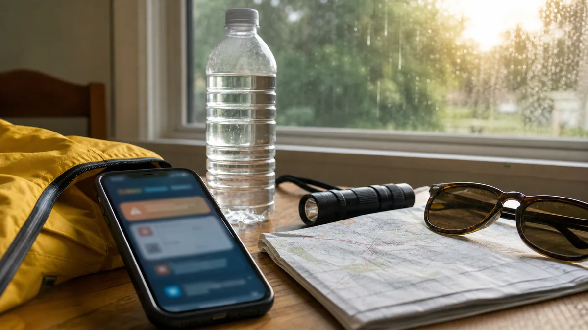
The National Weather Service is flagging a three-part weather risk for Wednesday, July 8: severe thunderstorms, excessive rainfall and extreme heat across different parts of the United States.
The national summary says heavy rain in the Upper Midwest may bring flash and urban flooding, scattered severe storms may produce large hail and damaging wind from the central High Plains into the Upper Midwest, and extreme heat is continuing over the Desert Southwest through Thursday.
This is a check-your-location story, not a single national emergency. The useful move is to verify which hazard applies where you are, then make one or two concrete changes before conditions deteriorate. Recheck before a commute, school pickup or outdoor shift.
Do this first
- Enter your ZIP code at Weather.gov. National maps can show the broad risk, but warnings, watches and advisories change by county and sometimes by neighborhood.
- Turn on Wireless Emergency Alerts and a local backup. Use phone alerts plus a local NWS office, trusted broadcaster or NOAA Weather Radio if storms could arrive overnight.
- Move plans indoors if thunder is possible. The Storm Prediction Center outlook issued late Tuesday highlighted severe wind and hail risks in parts of the northern Plains and Upper Mississippi Valley into early Wednesday.
- Do not drive through floodwater. Heavy rain can overwhelm urban drainage quickly, and water over a road can hide depth, current or washouts.
- Treat heat as a schedule problem. If you must work or exercise outside in the Southwest or Southeast, shift strenuous activity to early morning or evening and plan shade, water and rest breaks.
Check these details
The Weather Prediction Center's short-range discussion, valid from July 8 to July 10, says the severe-weather focus shifts Wednesday from the upper Great Lakes southwestward into the central Plains, with locally heavy rainfall that could lead to flash flooding. It also notes hot and humid conditions in the Southeast and above-normal heat in parts of the Southwest.
In the Desert Southwest, active NWS extreme heat warnings include parts of southwest Arizona and southeast California with afternoon temperatures forecast around 110 to 118 degrees in some warning areas. The Phoenix-area warning lists dangerous heat continuing until 8 p.m. MST Thursday for many locations.
Common mistakes
Do not assume a watch and a warning mean the same thing. A watch means conditions are possible; a warning means the hazard is happening or imminent enough that you should act. Also avoid relying on a screenshot of an old radar image. For storms and flash flooding, timing can change within hours.
For heat, the mistake is waiting until symptoms are severe. Move someone with heat illness symptoms to a cool shaded place, start cooling them, and call 911 for suspected heat stroke. Local cooling centers may be available through county or city officials.
What happens next
NWS outlooks and local alerts will update through Wednesday as storms form and heat warnings continue. If your area is under a warning, follow the local instruction first, even if a national summary sounds less urgent.


